No Content Set
Exception:
Website.Models.ViewModels.Components.General.Banners.BannerComponentVm

Our services include plateau earthworks, geotechnical investigations, highway design and surface/foul water drainage infrastructure, alongside on-plot civil and structural engineering designs for the logistics buildings; earthworks bunds for visual screening and the container offload facility, which involved heavy-duty pavement designs.
DIRFT is recognised as the UK’s most successful intermodal (road/rail) logistics park. DIRFT III delivers 7.865m ft2 of rail-served storage and distribution space, extending the existing DIRFT I and DIRFT II developments (approx. 6.1m ft2).
An intermodal rail facility, which comprises an operational rail freight terminal building, has been constructed for transporting goods by train to DIRFT and the surrounding districts. It provides access to the UK’s primary freight route, the West Coast Mainline.
The site has a total area of 343.7 hectares, including Lilbourne Meadows, an ecological mitigation zone/nature reserve, covering 76.78 hectares to the north of the site. Lilbourne Meadows is leased to the Wildlife Trust and has rare bread sheep for conservation grazing.
Project name
DIRFT III, Northamptonshire
Client
Prologis UK Ltd
Location
Crick, Northamptonshire
Certifications
All buildings achieved BREEAM Excellent and Planet Mark Development
Services provided
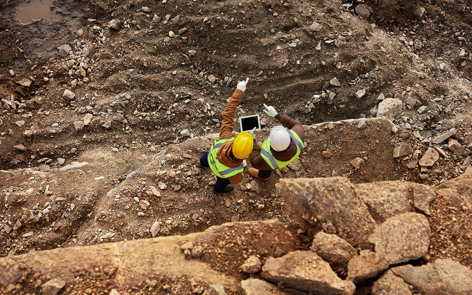
Topography varied across the site at approximately 121m to 96m, with the highest adjacent to the M1 bridleway bridge. High retention is required in this area to deliver plateaus up to 20m lower than retained boundary levels, presenting geotechnical and engineering challenges.
Minimum floor levels were set and agreed upon at the Development Consent Order (DCO) stage to ensure adequate protection from flooding for buildings and life. Maximum building heights were also identified, providing significant constraints at a number of plots.
The existing high-pressure gas main and Cemex pipelines on site needed diversion works to accommodate the proposed building footprints, which required the approval of Cadent and Cemex.
The design of the intermodal site included direct rail access to the Royal Mail National Distribution Hub (840,000 sqft), which required evolving the site masterplan to meet their needs.
The protection of trees and historical hedges around the site's perimeter was agreed upon and formed part of the DCO. This required consideration of the root zones during the ongoing design and construction phases.
Extensive Geotechnical Investigation works, interpretive reports, design of site-wide earthworks including Lilbourne Ridge and building settlement modelling have been completed. Further assessments of cut up to 20m in depth required to deliver building plots.
Several significant heritage constraints on the site required sensitive consideration and needed to be satisfied before construction could commence. The earthwork ridge and furrow covered most of the site and was identified as nationally significant by Historic England, presenting a considerable challenge. RPS managed the archaeological and built heritage issues. Assessing the significance of earthworks was critical for informing the masterplan, designing suitable mitigation measures, and supporting the DCO application.
We delivered civil, structural and highway engineering services across the development for all buildings and infrastructure, which involved:
Our Heritage team undertook a comprehensive assessment and consultation with key stakeholders. The scheme was delivered successfully on the development, preserving the most important earthworks within Lilbourne Meadows, and protecting the settings of nearby designated heritage assets.
The client was passionate about sharing the results of heritage-related work with the public. We collaborated with the client and contractors to organise site visits for the local archaeological society and an Archaeology Day held in Daventry, attended by over 200 people. As well as assisting in the design of interpretation boards for Lilbourne Meadows.
343.7 hectares
total site area
Upto 8 million sqft
of rail served storage and distribution space
5.5 km
of road