
Energy transition
RPS updates key BOEM report and OceansMap Portal for Floating Offshore Wind Farms in California
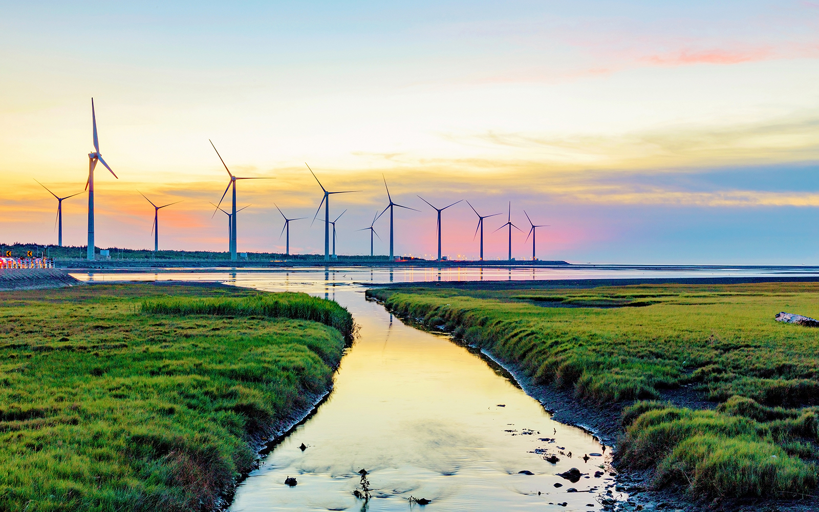
Floating offshore wind in the U.S. is moving rapidly in California. The California Energy Commission has set ambitious targets of 25GW of offshore wind by 2045, and multiple Floating Offshore Wind Farms (FOWF) must be built to meet this goal.
As a follow-up to the report by RPS delivered in 2020, The Bureau of Ocean Energy Management (BOEM) requested an update to include additional data on geohazards that developers of wind farms must consider during site selection.
View data on OceansMap
Visualize and interact with the data, live on the website developed by RPS for the Bureau of Ocean Energy Management.
Visit BOEM OceansMap

Project history
The Bureau of Ocean Energy Management's (BOEM) mission is to manage lease areas for offshore wind in an environmentally and economically responsible way. In a previous study by RPS for BOEM, titled "Potential earthquake, landslide, tsunami and geo-hazards for the U.S. Offshore Pacific Wind Farms", we assessed the potential threats to wind energy development, including the effects of geo-hazards on mooring and anchorage systems and buried transmission lines.
This report titled "Geohazard analysis and suitability updates for California Floating Windfarms” updates the first study by incorporating additional newly acquired geophysical and geotechnical data. The benefit of reassessing a site's suitability when further data is made available is that specific risks can be analyzed more accurately, and optimal sites can be chosen.
What area does the report cover
The study covers the Humboldt, Morro Bay and Diablo Canyon call areas, potential cable landing areas near the mainland, and a five-nautical mile radius extending seaward, to include possible anchorage and mooring locations.

New geological and geophysical data inputs
The data gaps identified in the Phase 1 report were filled with recently acquired geological and geophysical data inputs. The data augmented three components of site selection, seismicity, geology, and slope stability by providing additional and updated information on bathymetry and seafloor geology from regional mapping and near-surface seabed soil characterization.

What's next
As new data is collected by floating offshore wind farm developers, it could be integrated to improve the knowledge base created in this study.
Developers will still require site-specific seabed investigations for license blocks and cable burial or landing locations. However, this report and the GIS Portal - OceansMap provide developers with a headstart for screening sites, a critical first step in building the floating offshore windfarms California so desperately needs to meet their ambitious targets of 25 GW of clean, renewable offshore wind energy by 2045.
Download a copy of the report
Explore our floating offshore wind insights


Explore projects
-

Working with SouthCoast Wind to widen employment routes for local communities in US offshore wind
-

Floating LiDAR for Equinor off the US Atlantic Coast
-
RPS updates key BOEM report and OceansMap Portal for Floating Offshore Wind Farms in California
Energy transition
-

Environmental Sensitivity and Associated Risk Analysis - Floating Offshore Wind, California and Hawaii
-

RPS delivers BOEM report on potential hazards for the US Offshore Pacific Wind Farms
Energy transition
Related services
-

Coastal and marine geoscience
Coastal and marine geoscience services to help you understand and manages sediment dispersion, seafloor infrastructure routing, design, management and more.
-
Metocean, Science and Technology
Metocean science and technology solutions including measurement, modelling, forecasting, floating LiDAR, data analysis, operability and design criteria.
-

Modelling
Industry leading metocean modelling services for oil and chemical spills, operational discharges, sediment, coastal development and marine emergency response.
-

Maritime infrastructure
Technical design, engineering and environmental services for effective and sustainable maritime and coastal infrastructure development.
-

Environmental permitting and compliance
Permitting services and advice to help you navigate environmental regulation and licensing requirements and develop sustainably.
Contact us

Tony LaPierre
Technical Director - Seismic Operations and Site Investigations
